Drones for Ecology
Drone use in ecology really picked up in the early 2010s, as these new tools offered a way for researchers to quickly collect high quality data at scales and perspectives previously impossible. My first project in grad school was to test the behavioural impacts of these tools on nesting geese, which quickly spiraled into using drones for large scale habitat surveys, integrating artificial intelligence, and ultimately producing a standardized protocol for drone use by ecologists that is still widely used today!
Drones have little impact on wildlife
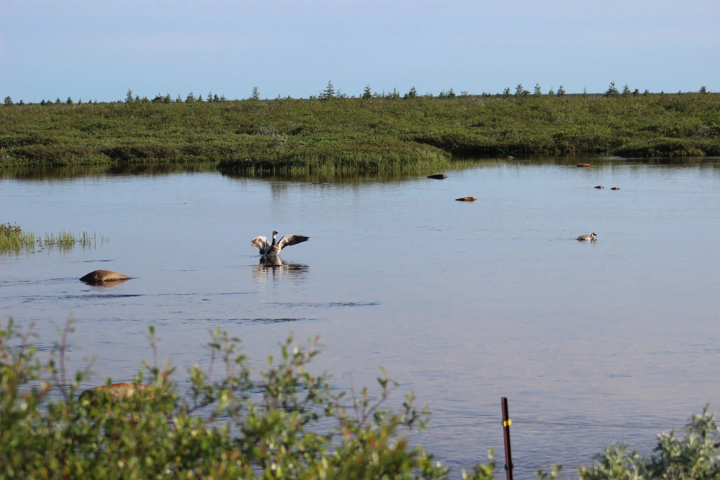
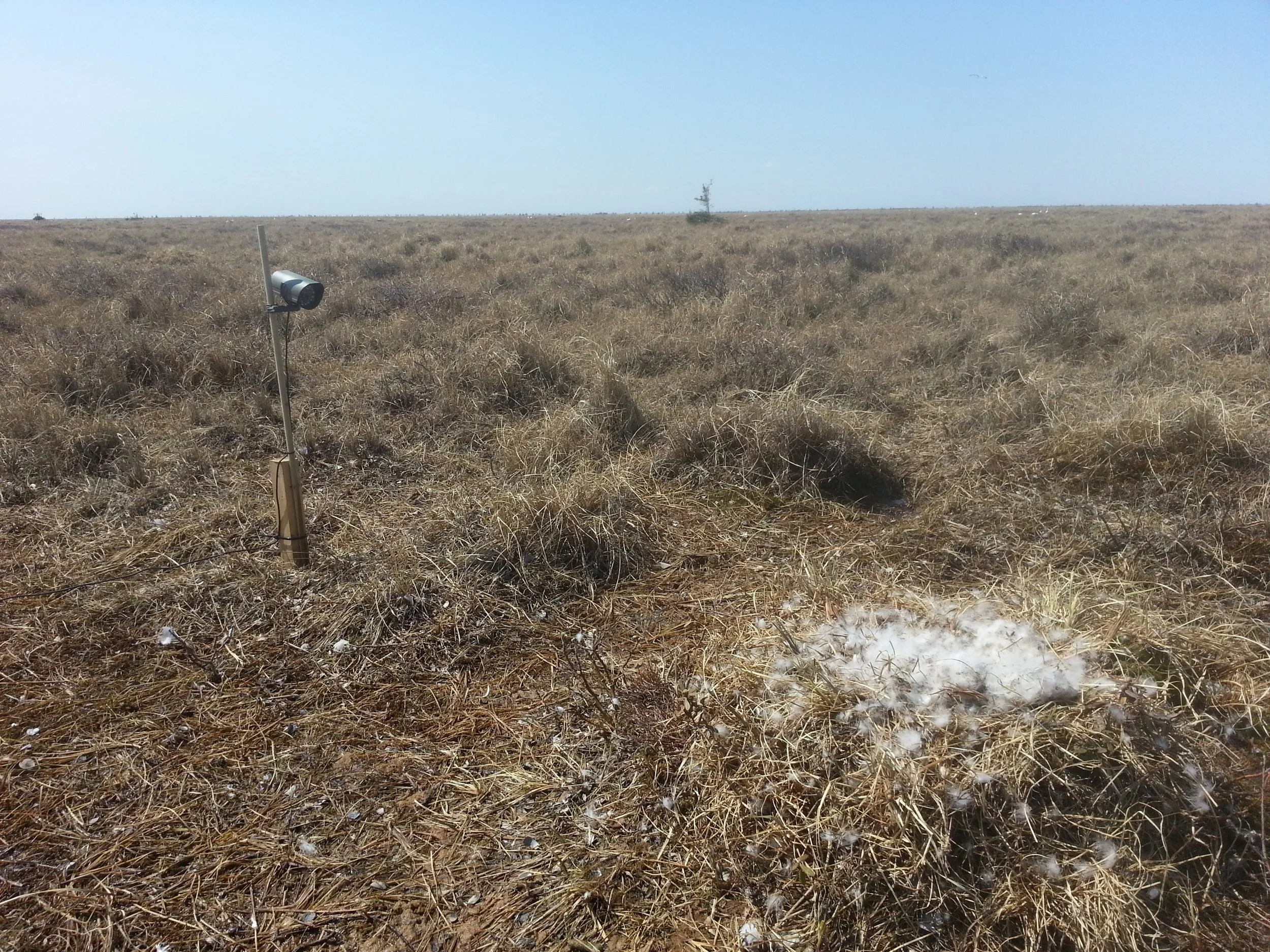
My original use of drones was done in Wapusk National Park, Manitoba, Canada, but before we could get started a key question from the Churchill Wildlife Management Board was, “do the drones impact our wildlife?”. Little was known about this question back then, so we addressed this by monitoring nesting lesser snow geese and common eiders with nest cameras, and comparing behavioural patterns before, after, and during drone flights. We found little evidence of behavioural impact on our nesting birds, clearing the way for nesting surveys.
A few years later, I was lucky enough to work on common eiders again, but on East Bay Island, Nunavut, Canada. Taking advantage of an ongoing study monitoring heart rate of birds, we flew drone surveys of the island and also documented no physiological response to surveys either (led by the fantastic Erica Geldart).
Overall, when used appropriately, drones appear to be a great way to minimize impacts on wildlife. But this depends on the overall study objectives, and consideration for survey needs!
Scaling Drone Use in Ecology
One of the best things about drones is the huge amount of data they collect, but this is also a daunting problem as that data needs to be processed. Fortunately, various forms of Artificial Intelligence can help researchers sort through this data and make sense of it all.
One of my early projects in grad school was using drones to assess habitat damage by lesser snow geese, who are very destructive foragers. Using a combination of manual image review, and semi-automated machine learning approaches, I demonstrated that drones can be used to rapidly survey large study areas and accurately classify habitat damage.
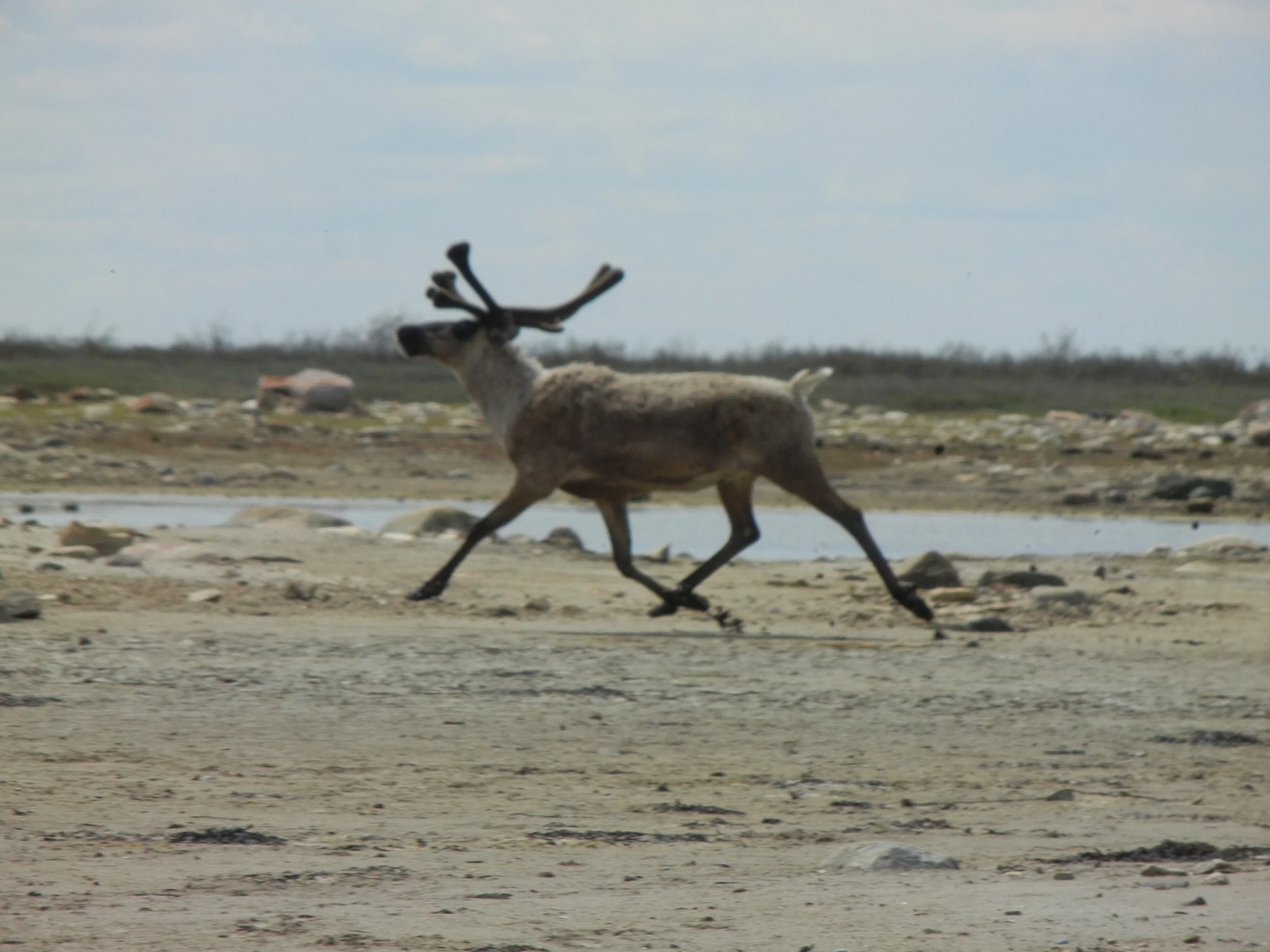
My collaborators and I have also tested various applications of Artificial Intelligence tools for surveys of Snow geese and Caribou herds, with great initial success! The combination of drone surveys and AI are likely to revolutionize ecology in the coming years, and I am keen to continue pursuing this avenue of research.